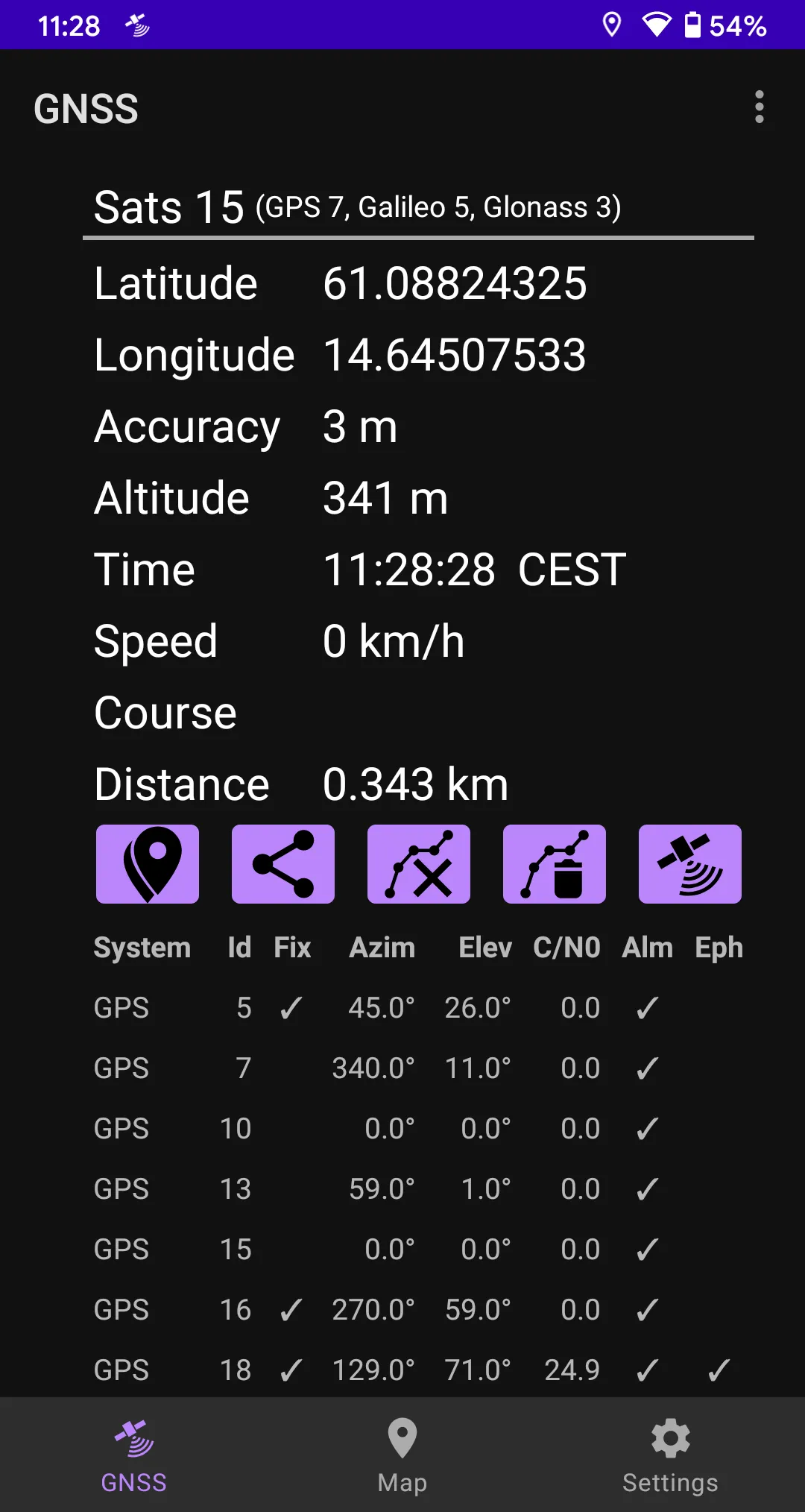
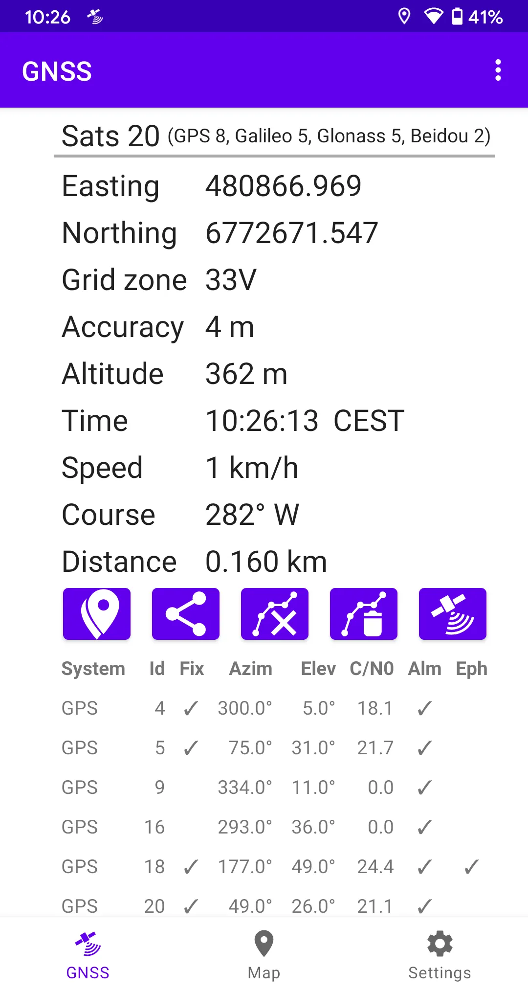
GNSS Viewer (Global Navigation Satellite System, ie, GPS, Glonass, Beidou, Galileo, IRNSS) displays current GNSS information as reported by the built-in GNSS unit of your phone (or tablet). The following GNSS data are displayed:
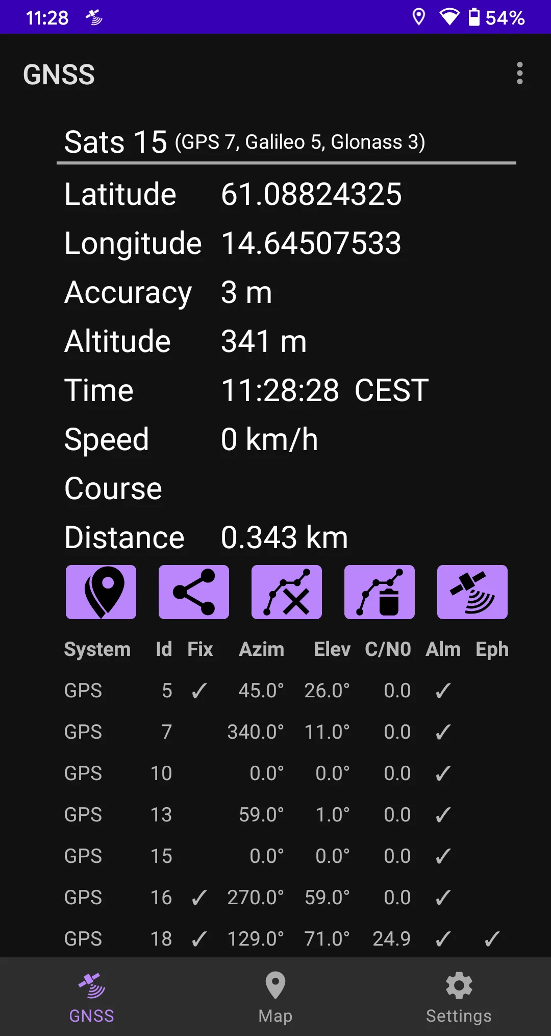
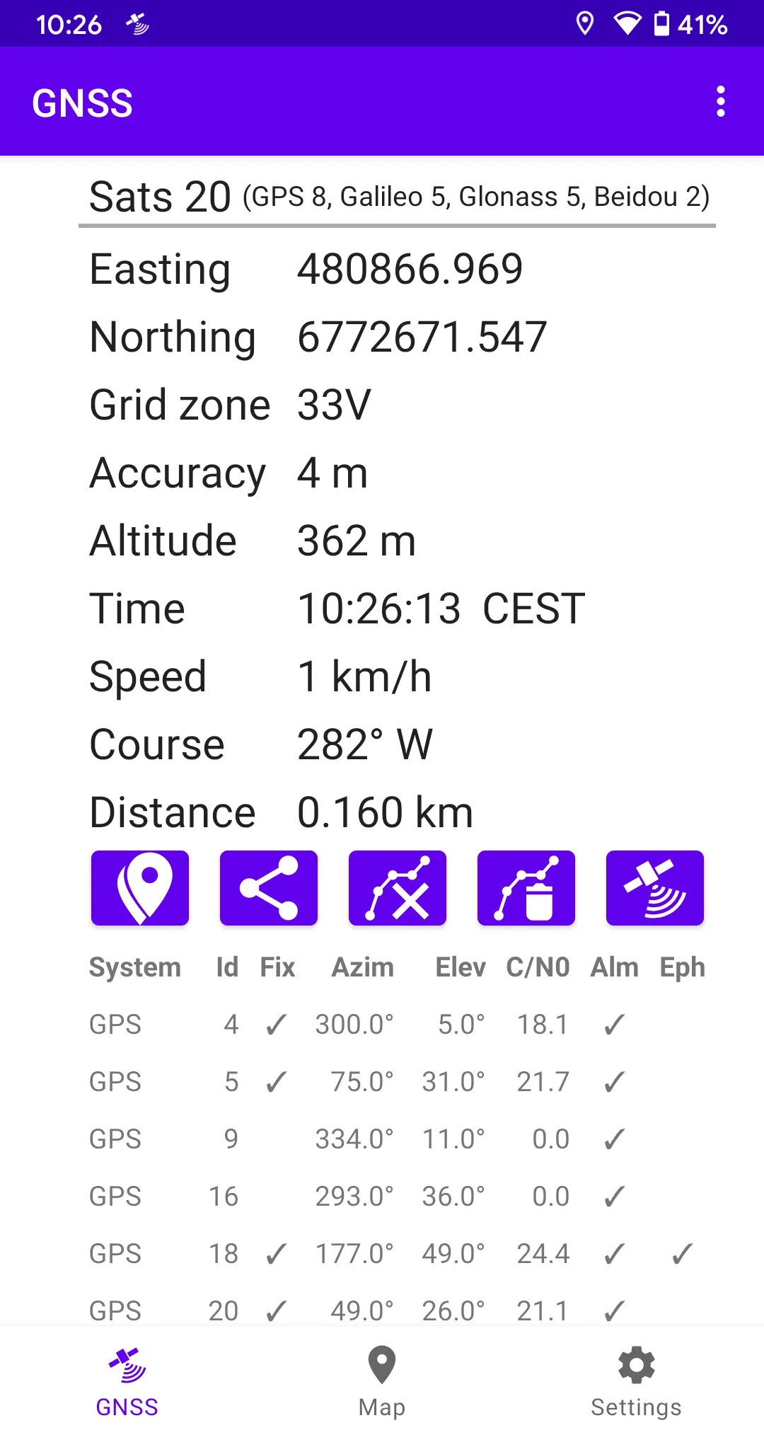
- Position (latitude/longitude, UTM, or, SWEREF 99).
- Accuracy (optional).
- Altitude.
- Speed or pace.
- Course.
- UTC or local time (optional).
- Satellite data (optional).
The app calculates traveled distance as you walk/bicycle/drive/sail.
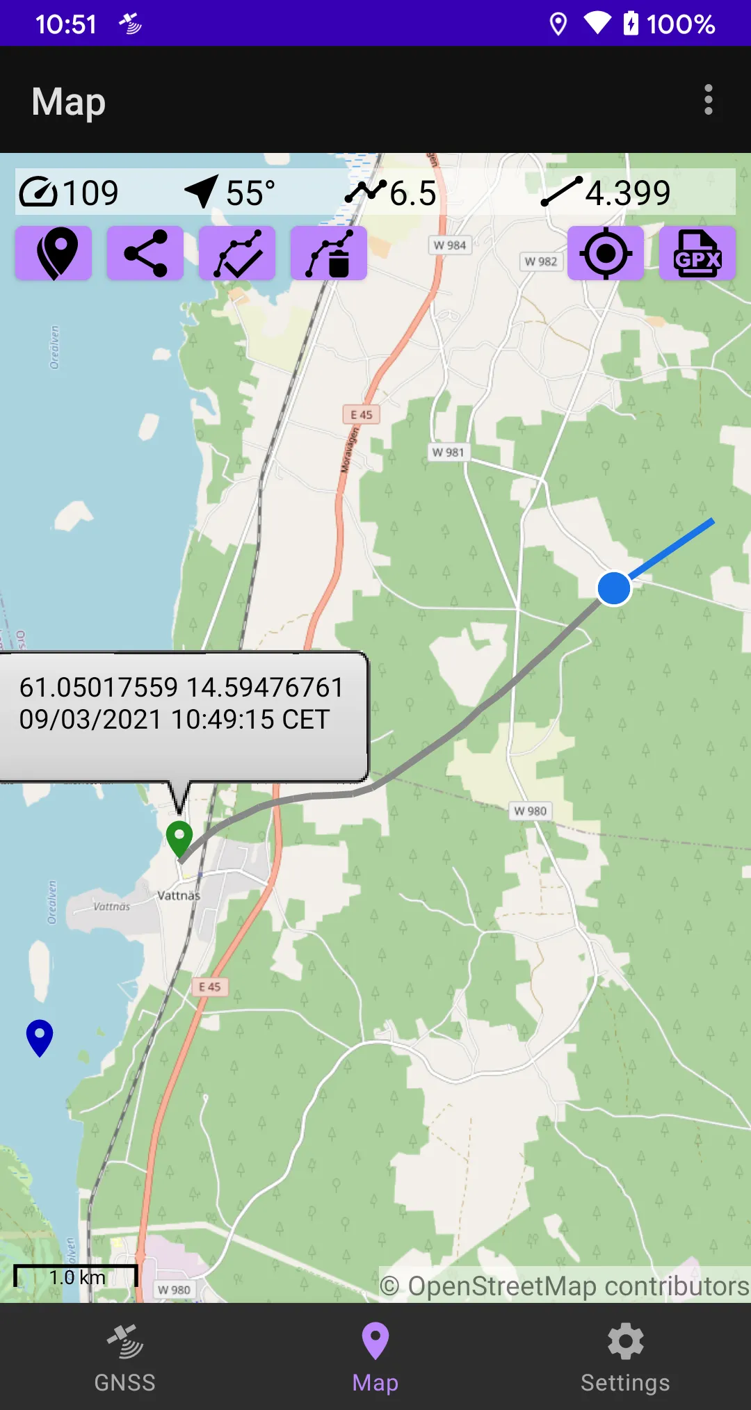
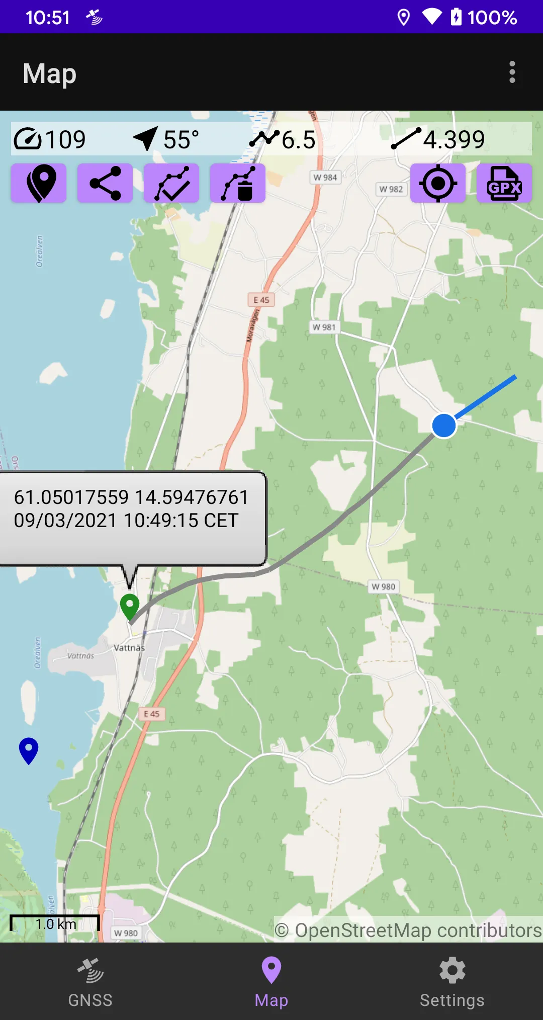
GNSS Viewer can log your position at user-defined intervals. The resulting track is displayed on a map and can be exported as a GPX/CSV file, for example via e-mail.
You can also:
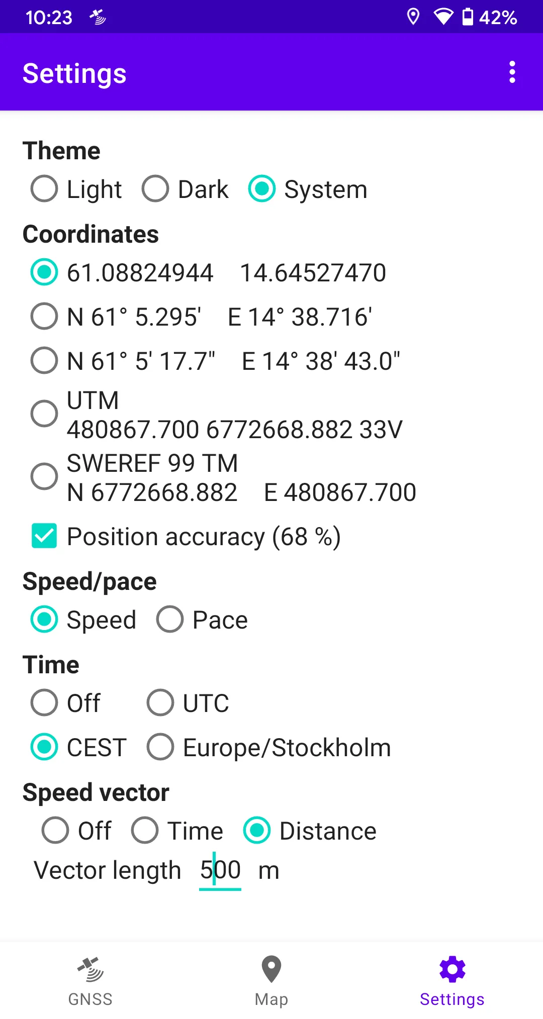
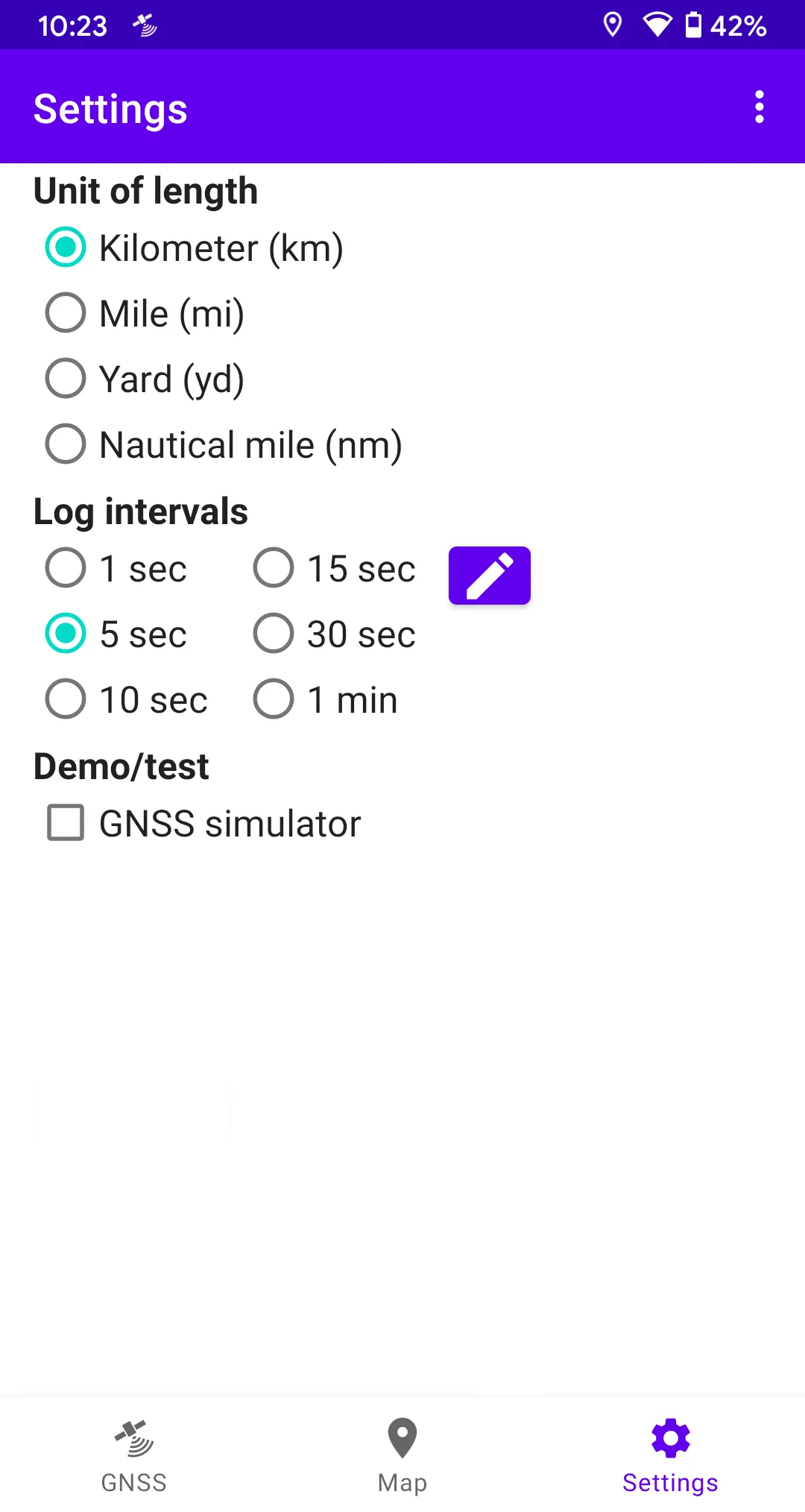
- Choose between kilometers, miles, yards or nautical miles.
- Choose lat/long format (decimal deg, deg/min or deg/min/sec).
- Share your position, for example via SMS or e-mail.
- Copy position to clipboard.
- Set a waypoint.
- Clear tracks/waypoints.
This app contains no ads. It does not gather, transmit or disclose any personal data.
More info: https://stigning.se/